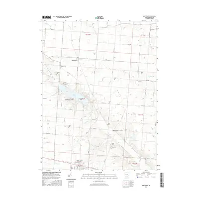
2016 Map of Saint Paris
USGS Topo · Published 2016About this map
St. Paris anchors the southern edge of this West Central Ohio landscape, where the village street grid meets the agricultural reaches of Champaign County. The terrain is defined by the winding course of Nettle Creek and the significant basin of Kiser Lake, which features the uniquely named Groundhog Island. Historically significant cemeteries are scattered throughout the rural townships, including Mount Pleasant Cemetery and Spring Grove Cemetery, offering valuable points of reference for genealogists. Small crossroads communities like Millerstown, Rosewood, and Carysville represent the enduring settlement patterns of the region. The map also captures several family-named landmarks such as Heck Hill and various private burial grounds like the Zimmerman Cemetery, providing a detailed look at the local land ownership and cultural geography during the early 21st century.
Find a feature on this map
94 named features on this map. Tap any name to fly to it.
Don’t see what you’re looking for? This feature index may not catch every label — zoom into the map to look around manually.
Map Details
Editions of this 2016 Saint Paris Map
This is the sole edition of this map. No revisions or reprints were ever made.
Other maps of this area

1913 · Bellefontaine
USGS Topo · 1:48,000

1913 · Sidney
USGS Topo · 1:62,500

1914 · Troy
USGS Topo · 1:62,500

1914 · St. Paris
USGS Topo · 1:62,500

1915 · Bellefontaine
USGS Topo · 1:62,500

1916 · St. Paris
USGS Topo · 1:62,500

1944 · Sidney
USGS Topo · 1:62,500

1944 · St. Paris
USGS Topo · 1:62,500

1944 · Troy
USGS Topo · 1:62,500

1944 · Bellefontaine
USGS Topo · 1:62,500