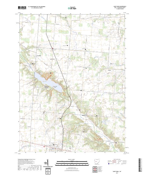
2023 Map of Saint Paris
USGS Topo · Published 2023About this map
St. Paris serves as the southern anchor of this Western Ohio landscape, where the street grid of W Main St and E Main St marks a pocket of dense settlement amidst the agricultural expanses of Champaign County. The northern terrain is defined by the significant waters of Kiser Lake, which features Ground Hog Island and the neighboring community of Grandview Heights. This area is a patchwork of small crossroads and rural hamlets, including Rosewood, Carysville, and Millerstown, each connected by a network of named pikes and roads.
Find a feature on this map
62 named features on this map. Tap any name to fly to it.
Don’t see what you’re looking for? This feature index may not catch every label — zoom into the map to look around manually.
Map Details
Editions of this 2023 Saint Paris Map
This is the sole edition of this map. No revisions or reprints were ever made.
Other maps of this area

1913 · Bellefontaine
USGS Topo · 1:48,000

1913 · Sidney
USGS Topo · 1:62,500

1914 · Troy
USGS Topo · 1:62,500

1914 · St. Paris
USGS Topo · 1:62,500

1915 · Bellefontaine
USGS Topo · 1:62,500

1916 · St. Paris
USGS Topo · 1:62,500

1944 · Sidney
USGS Topo · 1:62,500

1944 · St. Paris
USGS Topo · 1:62,500

1944 · Troy
USGS Topo · 1:62,500

1944 · Bellefontaine
USGS Topo · 1:62,500