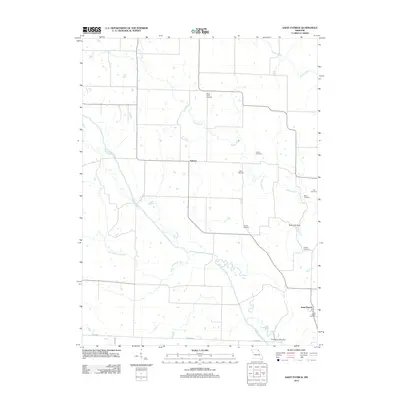
2012 Map of Saint Patrick
USGS Topo · Published 2012About this map
Saint Patrick and Antioch anchor this rural Missouri landscape, where the Wyaconda River and its tributary, the Little Wyaconda River, carve through the Clark County countryside. The terrain is marked by a high density of small family or community burial grounds, including the Honey Creek Cemetery, Sisson Cemetery, and Cowgill Cemetery, which speak to the long-established agricultural settlement of the region.
Find a feature on this map
19 named features on this map. Tap any name to fly to it.
Don’t see what you’re looking for? This feature index may not catch every label — zoom into the map to look around manually.
Map Details
Editions of this 2012 Saint Patrick Map
This is the sole edition of this map. No revisions or reprints were ever made.
Other maps of this area

1903 · Kahoka
USGS Topo · 1:125,000

1949 · Wayland
USGS Topo · 1:24,000

1949 · Kahoka SE
USGS Topo · 1:24,000

1949 · Kahoka
USGS Topo · 1:24,000

1949 · St. Patrick
USGS Topo · 1:24,000

1950 · Kahoka
USGS Topo · 1:24,000

1950 · Saint Patrick
USGS Topo · 1:24,000

1950 · Kahoka SE
USGS Topo · 1:24,000

1950 · Wayland
USGS Topo · 1:24,000

1950 · Neeper
USGS Topo · 1:24,000