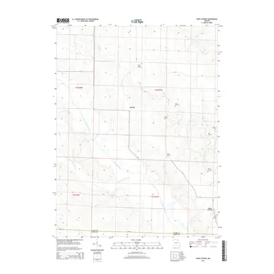
2014 Map of Saint Patrick
USGS Topo · Published 2014About this map
Antioch and Saint Patrick anchor this landscape along the border of Clark and Lewis Counties in northeastern Missouri. The area is defined by the winding course of the Wyaconda River and the Little Wyaconda River, which carve through the terrain alongside numerous smaller tributaries like Honey Creek and Buck Run. This rural region is notably rich in small, family-named burial sites, suggesting a deep history of kinship and early settlement patterns. From the Honey Creek Cemetery in the north to Higbee Cemetery and Saint Patrick Cemetery in the south, these landmarks serve as significant points of reference for local historians. The map also captures several other legacy sites including Sisson Cemetery, Mitts Cemetery, and Cowgill Cemetery, reflecting a landscape where the names of early residents remain etched into the geography long after original farmsteads have evolved.
Find a feature on this map
16 named features on this map. Tap any name to fly to it.
Don’t see what you’re looking for? This feature index may not catch every label — zoom into the map to look around manually.
Map Details
Editions of this 2014 Saint Patrick Map
This is the sole edition of this map. No revisions or reprints were ever made.
Other maps of this area

1903 · Kahoka
USGS Topo · 1:125,000

1949 · Wayland
USGS Topo · 1:24,000

1949 · Kahoka SE
USGS Topo · 1:24,000

1949 · Kahoka
USGS Topo · 1:24,000

1949 · St. Patrick
USGS Topo · 1:24,000

1950 · Kahoka
USGS Topo · 1:24,000

1950 · Saint Patrick
USGS Topo · 1:24,000

1950 · Kahoka SE
USGS Topo · 1:24,000

1950 · Wayland
USGS Topo · 1:24,000

1950 · Neeper
USGS Topo · 1:24,000