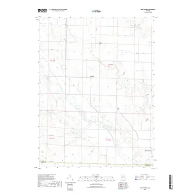
2017 Map of Saint Patrick
USGS Topo · Published 2017About this map
The Wyaconda River and its tributary, the Little Wyaconda River, carve a winding path through this corner of Clark County, Missouri. The landscape is defined by the rural settlement patterns of the early twenty-first century, centered on the unincorporated communities of Antioch and Saint Patrick. This survey offers significant genealogical value through its preservation of numerous small burial grounds that dot the river valleys and uplands, including the Honey Creek Cem, Sisson Cem, and Cowgill Cem. The layout of section lines and township boundaries like t64n r7w provides a clear view of the Public Land Survey System that structured this agricultural region. Transportation is facilitated by a network of state and local routes, most notably State Hwy H, which connects these quiet rural outposts across the undulating terrain between Honey Cr and Sugar Cr.
Find a feature on this map
24 named features on this map. Tap any name to fly to it.
Don’t see what you’re looking for? This feature index may not catch every label — zoom into the map to look around manually.
Map Details
Editions of this 2017 Saint Patrick Map
This is the sole edition of this map. No revisions or reprints were ever made.
Other maps of this area

1903 · Kahoka
USGS Topo · 1:125,000

1949 · Wayland
USGS Topo · 1:24,000

1949 · Kahoka SE
USGS Topo · 1:24,000

1949 · Kahoka
USGS Topo · 1:24,000

1949 · St. Patrick
USGS Topo · 1:24,000

1950 · Kahoka
USGS Topo · 1:24,000

1950 · Saint Patrick
USGS Topo · 1:24,000

1950 · Kahoka SE
USGS Topo · 1:24,000

1950 · Wayland
USGS Topo · 1:24,000

1950 · Neeper
USGS Topo · 1:24,000