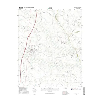
2016 Map of Saint Pauls
USGS Topo · Published 2016About this map
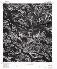
St. Pauls serves as the primary hub of this eastern North Carolina landscape, where the street grid of the town meets the industrial corridor of the CSX Transportation railroad. The geography is defined by a dense network of blackwater drainages, notably Big Marsh Swamp and Little Marsh Swamp, which thread between a series of distinctive Carolina Bays including Evans Bay, Lammon Bay, and Currie Bay. These elliptical depressions and wetland systems historically dictated the placement of settlements and transport routes.
Find a feature on this map
155 named features on this map. Tap any name to fly to it.
Don’t see what you’re looking for? This feature index may not catch every label — zoom into the map to look around manually.
Map Details
Editions of this 2016 Saint Pauls Map
This is the sole edition of this map. No revisions or reprints were ever made.
Other maps of this area

1953 · Florence
USGS Topo · 1:250,000

1954 · Florence
USGS Topo · 1:250,000

1957 · Bladenboro
USGS Topo · 1:62,500

1959 · Saint Pauls
USGS Topo · 1:62,500

1972 · Northwest Lumberton
USGS Topo · 1:24,000

1972 · Rennert
USGS Topo · 1:24,000
1972 · Parkton
USGS Topo · 1:24,000
1976 · Rennert
USGS Topo · 1:24,000
1976 · Northwest Lumberton
USGS Topo · 1:24,000
1976 · Parkton
USGS Topo · 1:24,000