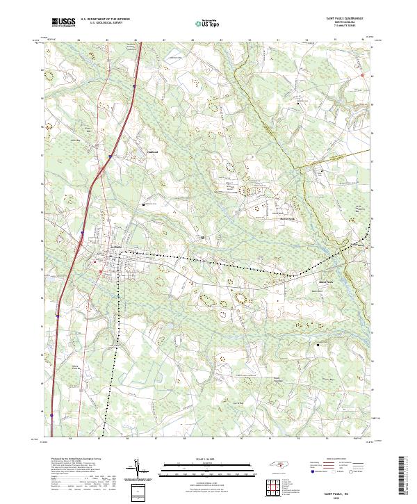
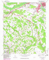
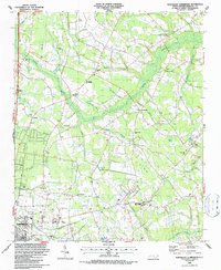
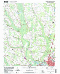
2022 Map of Saint Pauls
USGS Topo · Published 2022About this map
St. Pauls serves as the central hub of this North Carolina landscape, where a dense grid of residential streets meets the agricultural and marshy lowlands of the inner coastal plain. The town is flanked by smaller settlements like Oakland to the north and Horse Neck and Buies Neck to the east, illustrating a pattern of development closely tied to the land's drainage. The terrain is defined by an intricate network of wetlands, including the expansive Big Marsh Swamp and Little Marsh Swamp, interspersed with "bays" such as Evans Bay and Currie Bay which are characteristic of this region.
Find a feature on this map
159 named features on this map. Tap any name to fly to it.
Don’t see what you’re looking for? This feature index may not catch every label — zoom into the map to look around manually.
Map Details
Editions of this 2022 Saint Pauls Map
This is the sole edition of this map. No revisions or reprints were ever made.
Historical Maps of Oakland Through Time
23 maps found

1943 Pages Mill
Robeson County, NC
1962 Gaddysville
Robeson County, NC
1972 Mc Donald
Robeson County, NC
1972 Northwest Lumberton
Robeson County, NC
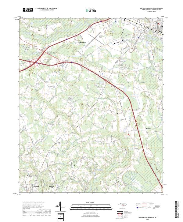
1972 Southwest Lumberton
Robeson County, NC
1976 Gaddysville
Robeson County, NC

1976 Mc Donald
Robeson County, NC
1976 Northwest Lumberton
Robeson County, NC
1976 Southwest Lumberton
Robeson County, NC
1981 Mc Donald
Robeson County, NC
1986 Northeast Lumberton
Robeson County, NC
1986 Saint Pauls
Robeson County, NC
1986 Southeast Lumberton
Robeson County, NC
1997 Northwest Lumberton
Robeson County, NC
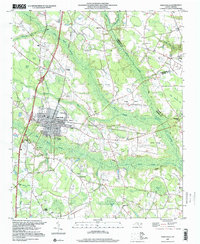
1997 Saint Pauls
Robeson County, NC
1997 Southeast Lumberton
Robeson County, NC
1997 Southwest Lumberton
Robeson County, NC
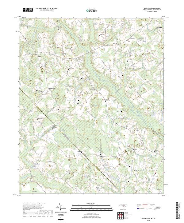
2022 Gaddysville
Robeson County, NC
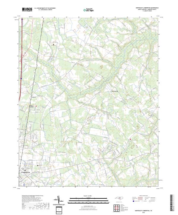
2022 Northeast Lumberton
Robeson County, NC
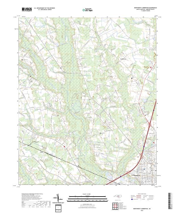
2022 Northwest Lumberton
Robeson County, NC
2022 Saint Pauls
Robeson County, NC
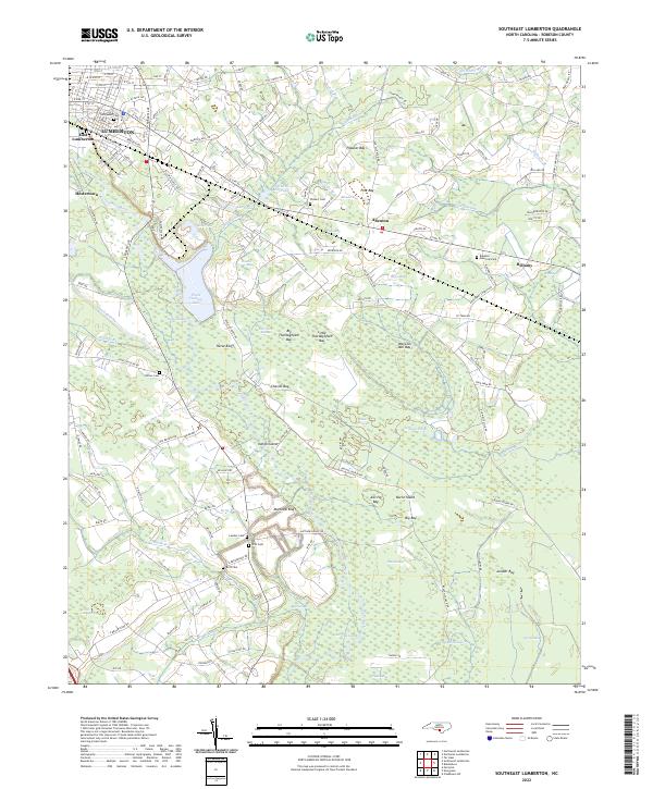
2022 Southeast Lumberton
Robeson County, NC
2022 Southwest Lumberton
Robeson County, NC