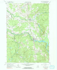
1964 Map of Saint Regis Falls
USGS Topo · Published 1966About this map
St Regis River and the Deer River dominate this portion of the northern Adirondacks in the mid-1960s. The village of Saint Regis Falls serves as a local hub, featuring a Gaging Station, multiple churches, and established cemeteries like St Anns Cem and Forest Cem. To the north, Dickinson Center is situated near the Ives Cem and Fairview Cem, marking the long-standing community centers of the Town of Dickinson.
Find a feature on this map
53 named features on this map. Tap any name to fly to it.
Don’t see what you’re looking for? This feature index may not catch every label — zoom into the map to look around manually.
Map Details
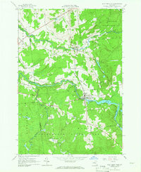
Editions of this 1964 Saint Regis Falls Map
2 editions found
Other maps of this area

1915 · Malone
USGS Topo · 1:62,500

1915 · Moira
USGS Topo · 1:62,500

1917 · Malone
USGS Topo · 1:62,500

1917 · Moira
USGS Topo · 1:62,500

1919 · Nicholville
USGS Topo · 1:62,500

1921 · Nicholville
USGS Topo · 1:62,500

1921 · Santa Clara
USGS Topo · 1:62,500

1923 · Santa Clara
USGS Topo · 1:62,500

1944 · Moira
USGS Topo · 1:62,500

1948 · Ogdensburg
USGS Topo · 1:250,000