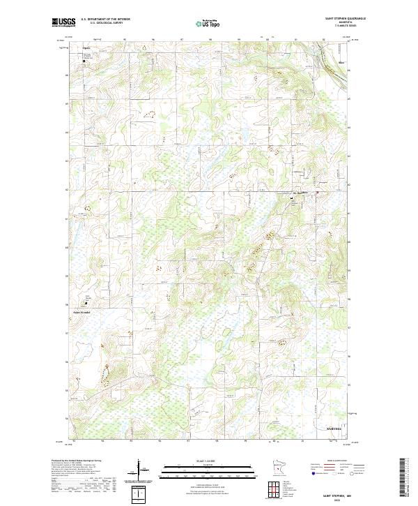
2022 Map of Saint Stephen
USGS Topo · Published 2022About this map
The Mississippi River forms a natural boundary between Stearns and Benton counties at the northeastern corner of this region, where the town of Rice sits across from the river's western banks. The interior landscape is defined by an extensive network of drainage systems, including County Ditch Number Twentyseven and County Ditch Number Twelve, which crisscross the low-lying terrain between Stony Creek and the southern reaches near Sartell.
Find a feature on this map
47 named features on this map. Tap any name to fly to it.
Don’t see what you’re looking for? This feature index may not catch every label — zoom into the map to look around manually.
Map Details
Editions of this 2022 Saint Stephen Map
This is the sole edition of this map. No revisions or reprints were ever made.
Other maps of this area

1948 · Pierz
USGS Topo · 1:62,500

1948 · Little Falls
USGS Topo · 1:62,500

1950 · Little Falls
USGS Topo · 1:62,500

1950 · Pierz
USGS Topo · 1:62,500

1950 · St. Cloud
USGS Topo · 1:62,500

1953 · Saint Cloud
USGS Topo · 1:250,000

1957 · Saint Cloud
USGS Topo · 1:250,000

1958 · Saint Cloud
USGS Topo · 1:250,000

1965 · St Stephen
USGS Topo · 1:24,000

1965 · Holdingford
USGS Topo · 1:24,000