
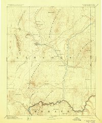
1886 Map of Saint Thomas
USGS Topo · Published 1886About this map
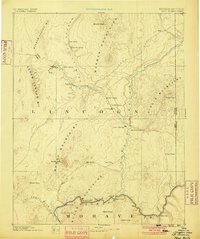
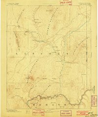
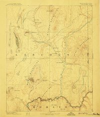
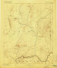
Saint Thomas and surrounding settlements in southeastern Nevada appear here during a period of early regional development along the Virgin River. This 1886 topography reveals the historical footprint of townsites like Saint Joseph, Overton, and Old Overton, alongside early transportation markers such as the Old California Trail and the Old California Crossing. Near the southern edge, the map documents the Colorado River in its natural state before twentieth-century dams, featuring critical river crossings like Stone Ferry and Scanlon Ferry. The landscape is defined by the convergence of several major washes, including Meadow Valley Wash and Las Vegas Wash, which drain into the river systems through the Black Mountains and Muddy Mountains. A single Salt Mine located south of Saint Thomas provides a rare indication of the era's local extractive industry.
Find a feature on this map
42 named features on this map. Tap any name to fly to it.
Don’t see what you’re looking for? This feature index may not catch every label — zoom into the map to look around manually.
Map Details
Editions of this 1886 Saint Thomas Map
6 editions found
Other maps of this area

1885 · St. George
USGS Topo · 1:250,000

1885 · Pioche
USGS Topo · 1:250,000

1886 · Diamond Creek
USGS Topo · 1:250,000

1886 · Camp Mohave
USGS Topo · 1:250,000

1886 · Mt. Trumbull
USGS Topo · 1:250,000

1886 · Pioche
USGS Topo · 1:250,000

1891 · St. George
USGS Topo · 1:250,000

1892 · Diamond Creek
USGS Topo · 1:250,000

1892 · Mt. Trumbull
USGS Topo · 1:250,000

1892 · Camp Mohave
USGS Topo · 1:250,000