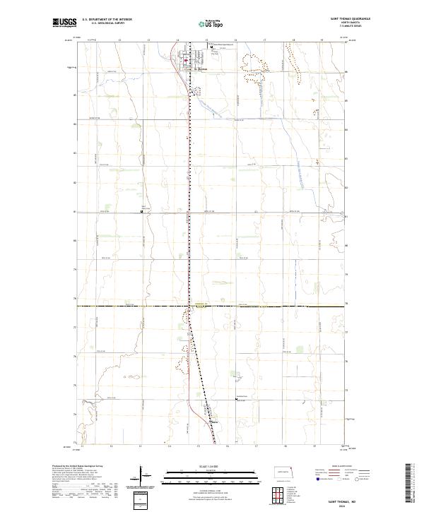
2024 Map of Saint Thomas
USGS Topo · Published 2024About this map
St. Thomas serves as the primary hub in this corner of the Red River Valley, characterized by a highly organized section-line road grid and the intensive agricultural drainage of County Ditch Number 67A. The settlement patterns here are deeply rooted in the land, with local history preserved at the Saint Thomas City Cem and the Saint Johns Cem situated along the 147th Ave NE corridor. To the south, the small community of Auburn sits near the border of Pembina and Walsh counties, marked by the nearby Landstad Cem. This landscape reflects a modern era of rural infrastructure, where local aviation at the St Thomas Municipal Airport and a network of named streets like Main St and Dakota St support the surrounding farming townships.
Find a feature on this map
38 named features on this map. Tap any name to fly to it.
Don’t see what you’re looking for? This feature index may not catch every label — zoom into the map to look around manually.
Map Details
Editions of this 2024 Saint Thomas Map
This is the sole edition of this map. No revisions or reprints were ever made.
Other maps of this area

1939 · Glasston
USGS Topo · 1:62,500

1941 · Glasston
USGS Topo · 1:62,500

1943 · Grafton
USGS Topo · 1:62,500

1944 · Crystal
USGS Topo · 1:62,500

1952 · Thief River Falls
USGS Topo · 1:250,000

1956 · Thief River Falls
USGS Topo · 1:250,000

1957 · Thief River Falls
USGS Topo · 1:250,000

1960 · Grafton
USGS Topo · 1:24,000
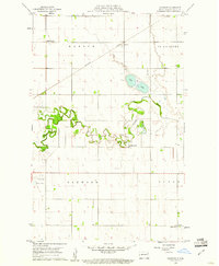
1960 · Oakwood
USGS Topo · 1:24,000

1963 · Crystal SE
USGS Topo · 1:24,000