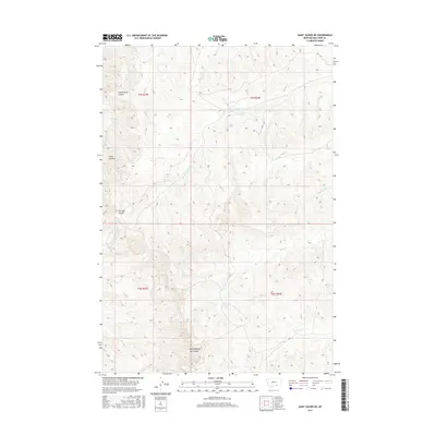
2017 Map of Saint Xavier NE
USGS Topo · Published 2017About this map
Good Horse Coulee and Scott Coulee carve through the landscape of Big Horn County, Montana, illustrating a terrain defined by complex drainage systems and traditional ranching boundaries. This 2017 survey by the U.S. Geological Survey details a network of waterways including Onion Cr, Shoulder Blade Cr, and Bear-in-Middle Cr, which flow through the northern and central sections. The naming of features like East Dipping Vat Coulee and Ox Yoke Coulee reflects the historical and practical heritage of the region's cattle industry. Further south, the landscape is marked by the courses of Mud Springs Cr, Nest Cr, and N Sand Cr, providing a clear view of the hydrological patterns within the Crow Indian Reservation.
Find a feature on this map
14 named features on this map. Tap any name to fly to it.
Don’t see what you’re looking for? This feature index may not catch every label — zoom into the map to look around manually.
Map Details
Editions of this 2017 Saint Xavier NE Map
This is the sole edition of this map. No revisions or reprints were ever made.
Other maps of this area

1894 · Rosebud
USGS Topo · 1:125,000

1894 · St. Xavier
USGS Topo · 1:125,000

1894 · Fort Custer
USGS Topo · 1:125,000

1901 · Rosebud
USGS Topo · 1:125,000

1901 · St. Xavier
USGS Topo · 1:125,000

1954 · Hardin
USGS Topo · 1:250,000

1957 · Hardin
USGS Topo · 1:250,000

1958 · Hardin
USGS Topo · 1:250,000

1960 · Schick Ranch
USGS Topo · 1:24,000

1960 · St Xavier
USGS Topo · 1:24,000