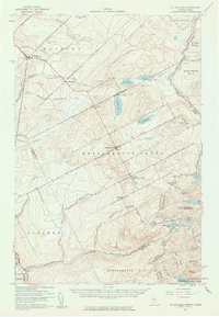
1957 Map of Saint Zacharie
USGS Topo · Published 1961About this map
St Zacharie sits at the heart of this international borderlands survey, where the administrative lines of Metgermette Nord and Metgermette Sud meet the Maine-Quebec frontier. The landscape is defined by the complex headwaters of the St. John River system, including the Southwest Branch St John River and numerous remote water bodies like Hurricane Pond and Metgermette Lake. Historically, this area served as a critical corridor for timber and border transit, evidenced by the La Croix Depot and the Boundary Cottage situated directly on the line.
Find a feature on this map
57 named features on this map. Tap any name to fly to it.
Don’t see what you’re looking for? This feature index may not catch every label — zoom into the map to look around manually.
Map Details
Editions of this 1957 Saint Zacharie Map
3 editions found
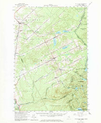
Other maps of this area

1927 · Sandy Bay
USGS Topo · 1:48,000

1930 · Sandy Bay
USGS Topo · 1:62,500

1944 · Sandy Bay
USGS Topo · 1:62,500

1949 · Jackman
USGS Topo · 1:250,000

1956 · Penobscot Lake
USGS Topo · 1:62,500

1957 · Norris Brook
USGS Topo · 1:62,500

1957 · Hardwood Mountain
USGS Topo · 1:62,500

1957 · Saint Zacharie
USGS Topo · 1:62,500

1962 · Quebec
USGS Topo · 1:250,000

1963 · Jackman
USGS Topo · 1:250,000