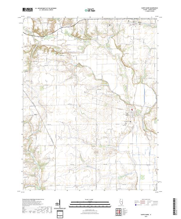
2024 Map of Sainte Marie
USGS Topo · Published 2024About this map
The Embarras River meanders through the central landscape of Jasper County, defining the agricultural and hydrographic character of this Illinois quadrangle. The settlement of Ste. Marie sits prominently along the river's eastern banks, serving as a focal point for local history with its nearby Sainte Marie Cem and Saint Mary's Cem. To the north, the village of Willow Hill is situated near the confluence of Hickory Creek and Crooked Creek, while the small community of Boos lies to the west along N State Rte 130. Notable landmarks include an Indian Mound south of the main river valley and several rural burial grounds such as Shiloh Cem and Eidson Cem. The terrain is further etched by numerous waterways including the Fox River and Pond Grove Creek, which drain the surrounding farmland.
Find a feature on this map
46 named features on this map. Tap any name to fly to it.
Don’t see what you’re looking for? This feature index may not catch every label — zoom into the map to look around manually.
Map Details
Editions of this 2024 Sainte Marie Map
This is the sole edition of this map. No revisions or reprints were ever made.
Other maps of this area

1910 · Hardinville
USGS Topo · 1:62,500

1940 · Greenup
USGS Topo · 1:62,500

1941 · Newton
USGS Topo · 1:62,500

1943 · Greenup
USGS Topo · 1:62,500

1943 · Newton
USGS Topo · 1:62,500

1953 · Indianapolis
USGS Topo · 1:250,000

1956 · Indianapolis
USGS Topo · 1:250,000

1956 · Annapolis
USGS Topo · 1:62,500

1956 · Vincennes
USGS Topo · 1:250,000

1957 · Indianapolis
USGS Topo · 1:250,000