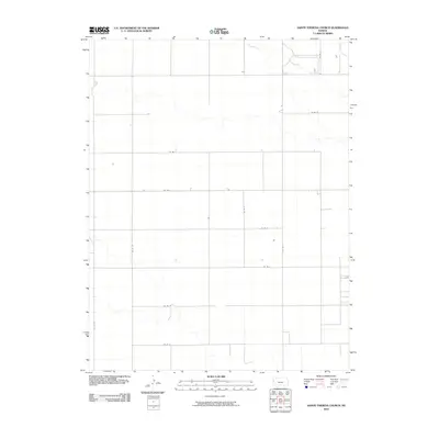
2010 Map of Sainte Theresa Church
USGS Topo · Published 2010About this map
Ladder Creek meanders through the northeastern corner of this western Kansas landscape, providing the primary relief to an otherwise remarkably consistent grid of sectional roads. The terrain is defined by its agricultural layout, where Co Rd 4, Co Rd 24, and Co Rd H form the straight-line arteries of Greeley County. This 2010 survey illustrates the enduring structure of the Great Plains' rural infrastructure, where isolated farmsteads and individual structures are the primary landmarks. The presence of routes like Co Rd M and Co Rd N underscores the importance of the county road system in maintaining connectivity across the high plains at the start of the 21st century.
Find a feature on this map
13 named features on this map. Tap any name to fly to it.
Don’t see what you’re looking for? This feature index may not catch every label — zoom into the map to look around manually.
Map Details
Editions of this 2010 Sainte Theresa Church Map
This is the sole edition of this map. No revisions or reprints were ever made.
Other maps of this area

1955 · Scott City
USGS Topo · 1:250,000

1958 · Scott City
USGS Topo · 1:250,000

1968 · Russell Springs 3 SW
USGS Topo · 1:24,000

1968 · Russell Springs 3 NW
USGS Topo · 1:24,000

1968 · Sharon Springs 4 NW
USGS Topo · 1:24,000

1968 · Sharon Springs 4 NE
USGS Topo · 1:24,000

1970 · Sharon Springs 4 SE
USGS Topo · 1:24,000

1970 · Sharon Springs 4 SW
USGS Topo · 1:24,000

1970 · Selkirk
USGS Topo · 1:24,000

1970 · Leoti NW
USGS Topo · 1:24,000