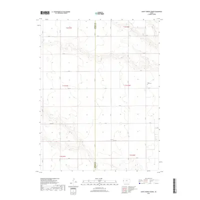
2018 Map of Sainte Theresa Church
USGS Topo · Published 2018About this map
The high plains along the Greeley County and Wichita County line are defined by a sparse but precise network of section-line roads and scattered landmarks of the agricultural community. This 2018 survey by the U.S. Geological Survey shows a landscape where long-standing rural institutions like the Saint Theresa Cem and Pearl Cem serve as primary anchors for local history and genealogy. The terrain is marked by gradual elevation changes and drainage patterns such as those along Four Mile Rd. The map provides a meticulous record of the township and range system, including t17s r39w and t17s r38w, illustrating how the land was partitioned for homesteading and farming in this western Kansas region.
Find a feature on this map
26 named features on this map. Tap any name to fly to it.
Don’t see what you’re looking for? This feature index may not catch every label — zoom into the map to look around manually.
Map Details
Editions of this 2018 Sainte Theresa Church Map
This is the sole edition of this map. No revisions or reprints were ever made.
Other maps of this area

1955 · Scott City
USGS Topo · 1:250,000

1958 · Scott City
USGS Topo · 1:250,000

1968 · Russell Springs 3 SW
USGS Topo · 1:24,000

1968 · Russell Springs 3 NW
USGS Topo · 1:24,000

1968 · Sharon Springs 4 NW
USGS Topo · 1:24,000

1968 · Sharon Springs 4 NE
USGS Topo · 1:24,000

1970 · Sharon Springs 4 SE
USGS Topo · 1:24,000

1970 · Sharon Springs 4 SW
USGS Topo · 1:24,000

1970 · Selkirk
USGS Topo · 1:24,000

1970 · Leoti NW
USGS Topo · 1:24,000