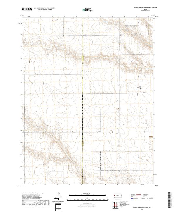
2022 Map of Sainte Theresa Church
USGS Topo · Published 2022About this map
The GREELEY CO WICHITA CO border cuts through this prairie landscape in western Kansas, revealing a rural expanse defined by section lines and remote landmarks. The terrain is characterized by the steady drainage patterns of the high plains, where named thoroughfares like Four Mile Rd and Co Rd 24 provide the primary infrastructure for local ranching and agricultural operations. This area is historically anchored by its religious and commemorative sites, specifically Saint Theresa Cem and the more isolated Pearl Cem. These locations offer significant data points for genealogists tracing family names in the borderlands of Greeley and Wichita counties. The map reflects a persistent pattern of rural life where the landscape is organized by township and range divisions, such as t17s r39w and t18s r38w, maintaining a quiet continuity with the early settlement period of the region.
Find a feature on this map
26 named features on this map. Tap any name to fly to it.
Don’t see what you’re looking for? This feature index may not catch every label — zoom into the map to look around manually.
Map Details
Editions of this 2022 Sainte Theresa Church Map
This is the sole edition of this map. No revisions or reprints were ever made.
Other maps of this area

1955 · Scott City
USGS Topo · 1:250,000

1958 · Scott City
USGS Topo · 1:250,000

1968 · Russell Springs 3 SW
USGS Topo · 1:24,000

1968 · Russell Springs 3 NW
USGS Topo · 1:24,000

1968 · Sharon Springs 4 NW
USGS Topo · 1:24,000

1968 · Sharon Springs 4 NE
USGS Topo · 1:24,000

1970 · Sharon Springs 4 SE
USGS Topo · 1:24,000

1970 · Sharon Springs 4 SW
USGS Topo · 1:24,000

1970 · Selkirk
USGS Topo · 1:24,000

1970 · Leoti NW
USGS Topo · 1:24,000