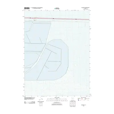
2010 Map of Salduro
USGS Topo · Published 2010About this map
Salduro occupies the stark industrial and crystalline landscape of the western Utah salt flats in this 2010 survey. The map depicts a highly specialized environment dominated by massive geometric evaporation ponds and brine collection structures that define the local salt harvesting industry. Bisected by a major interstate corridor and served by Frontage Rd, this site represents a critical point of extraction where the natural geology of the Great Salt Lake Desert meets modern infrastructure. The intricate layout of canals and levees visible on the sheet illustrates the complex hydrology required to manage minerals in one of the most unique geographic regions in North America.
Find a feature on this map
2 named features on this map. Tap any name to fly to it.
Don’t see what you’re looking for? This feature index may not catch every label — zoom into the map to look around manually.
Map Details
Editions of this 2010 Salduro Map
This is the sole edition of this map. No revisions or reprints were ever made.
Other maps of this area

1953 · Tooele
USGS Topo · 1:250,000

1955 · Tooele
USGS Topo · 1:250,000

1971 · Tetzlaff Peak
USGS Topo · 1:24,000

1971 · Bonneville Racetrack
USGS Topo · 1:24,000

1973 · Arinosa
USGS Topo · 1:24,000

1973 · Floating Island SW
USGS Topo · 1:24,000

1973 · Arinosa SW
USGS Topo · 1:24,000
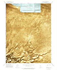
1973 · Salduro SW
USGS Topo · 1:24,000

1973 · Salduro SE
USGS Topo · 1:24,000
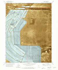
1973 · Silsbee
USGS Topo · 1:24,000