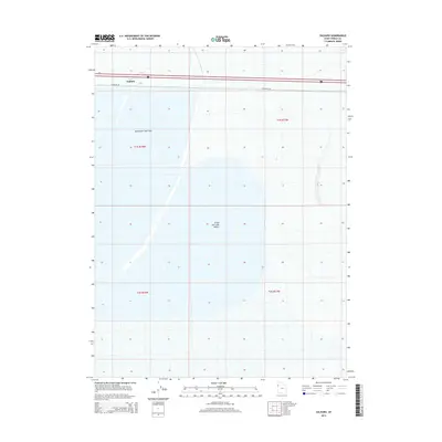
2014 Map of Salduro
USGS Topo · Published 2014About this map
Salduro sits along the northern edge of this arid landscape, a site historically significant for its potash production and role along the Western Pacific Railroad. The map reveals the stark topography of the Great Salt Lake Desert, where the vast, level expanse of the Bonneville Salt Flats dominates the western half of the quadrangle. This 2014 survey illustrates the minimal infrastructure in the region, centered primarily around the interstate corridor and the essential Frontage Rd. The grid lines of the Public Land Survey System, including t1s r18w and t1s r17w, underscore the methodical partitioning of these salt crusts and mud flats. Researchers of the region's industrial history or the evolution of the salt industry will find the footprint of this unique geological environment clearly delineated.
Find a feature on this map
8 named features on this map. Tap any name to fly to it.
Don’t see what you’re looking for? This feature index may not catch every label — zoom into the map to look around manually.
Map Details
Editions of this 2014 Salduro Map
This is the sole edition of this map. No revisions or reprints were ever made.
Other maps of this area

1953 · Tooele
USGS Topo · 1:250,000

1955 · Tooele
USGS Topo · 1:250,000

1971 · Tetzlaff Peak
USGS Topo · 1:24,000

1971 · Bonneville Racetrack
USGS Topo · 1:24,000

1973 · Arinosa
USGS Topo · 1:24,000

1973 · Floating Island SW
USGS Topo · 1:24,000

1973 · Arinosa SW
USGS Topo · 1:24,000
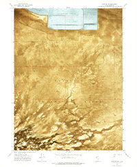
1973 · Salduro SW
USGS Topo · 1:24,000

1973 · Salduro SE
USGS Topo · 1:24,000
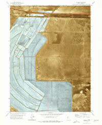
1973 · Silsbee
USGS Topo · 1:24,000