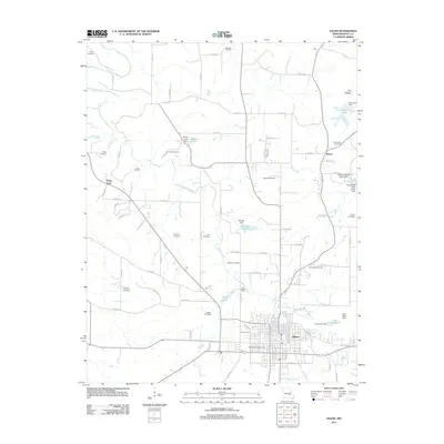
2011 Map of Salem
USGS Topo · Published 2011About this map
The city of Salem serves as the focal point of this 2011 survey, situated at the confluence of several county roads and highways in the Missouri Ozarks. The urban core is well-defined by a dense street grid, featuring local landmarks such as the Dent County Fairground and the large Northlawn Cemetery on its northern edge. Beyond the city limits, the landscape transitions into a network of small family burial grounds and agricultural tracts, with Spring Creek and its many branches like Nelson Branch carving through the terrain.
Find a feature on this map
87 named features on this map. Tap any name to fly to it.
Don’t see what you’re looking for? This feature index may not catch every label — zoom into the map to look around manually.
Map Details
Editions of this 2011 Salem Map
This is the sole edition of this map. No revisions or reprints were ever made.
Other maps of this area

1928 · Meramec Spring
USGS Topo · 1:62,500

1932 · Steelville
USGS Topo · 1:48,000

1933 · Steelville
USGS Topo · 1:62,500

1937 · Steelville
USGS Topo · 1:62,500

1941 · Salem
USGS Topo · 1:62,500

1941 · Stone Hill
USGS Topo · 1:62,500

1945 · Salem
USGS Topo · 1:62,500

1945 · Stone Hill
USGS Topo · 1:62,500

1949 · Rolla
USGS Topo · 1:250,000

1949 · Meramec Spring
USGS Topo · 1:62,500