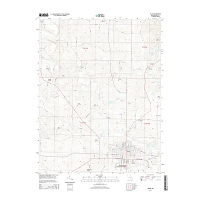
2015 Map of Salem
USGS Topo · Published 2015About this map
Salem serves as the regional hub in this 2015 study of Dent County, Missouri, where a network of county roads like CR-3180 and CR-239 connects the town to outlying rural settlements. The map documents a high density of burial grounds, including the Cedar Grove Cemetery and Northlawn Cemetery near the city, as well as several family-named sites such as Gregory and Tune cemeteries further afield. The southern portion of the sheet is dominated by the Mark Twain National Forest, illustrating the transition from town parcels to federal timberland.
Find a feature on this map
120 named features on this map. Tap any name to fly to it.
Don’t see what you’re looking for? This feature index may not catch every label — zoom into the map to look around manually.
Map Details
Editions of this 2015 Salem Map
This is the sole edition of this map. No revisions or reprints were ever made.
Other maps of this area

1928 · Meramec Spring
USGS Topo · 1:62,500

1932 · Steelville
USGS Topo · 1:48,000

1933 · Steelville
USGS Topo · 1:62,500

1937 · Steelville
USGS Topo · 1:62,500

1941 · Salem
USGS Topo · 1:62,500

1941 · Stone Hill
USGS Topo · 1:62,500

1945 · Salem
USGS Topo · 1:62,500

1945 · Stone Hill
USGS Topo · 1:62,500

1949 · Rolla
USGS Topo · 1:250,000

1949 · Meramec Spring
USGS Topo · 1:62,500