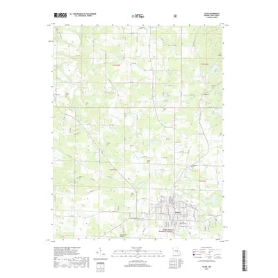
2017 Map of Salem
USGS Topo · Published 2017About this map
Salem serves as the focal point for this Dent County landscape, where the town's residential street grid transitions into the wooded hills and hollows of the Mark Twain National Forest. The map documents a territory defined by small water bodies and dispersed rural landmarks, including Mathes Lake, Bass Lake, and Lake Ziske. These water sources, along with drainage features like Dry Fork and Spring Creek, have historically influenced the location of homesteads and burial grounds throughout the region.
Find a feature on this map
117 named features on this map. Tap any name to fly to it.
Don’t see what you’re looking for? This feature index may not catch every label — zoom into the map to look around manually.
Map Details
Editions of this 2017 Salem Map
This is the sole edition of this map. No revisions or reprints were ever made.
Other maps of this area

1928 · Meramec Spring
USGS Topo · 1:62,500

1932 · Steelville
USGS Topo · 1:48,000

1933 · Steelville
USGS Topo · 1:62,500

1937 · Steelville
USGS Topo · 1:62,500

1941 · Salem
USGS Topo · 1:62,500

1941 · Stone Hill
USGS Topo · 1:62,500

1945 · Salem
USGS Topo · 1:62,500

1945 · Stone Hill
USGS Topo · 1:62,500

1949 · Rolla
USGS Topo · 1:250,000

1949 · Meramec Spring
USGS Topo · 1:62,500