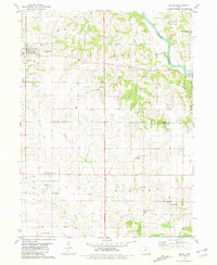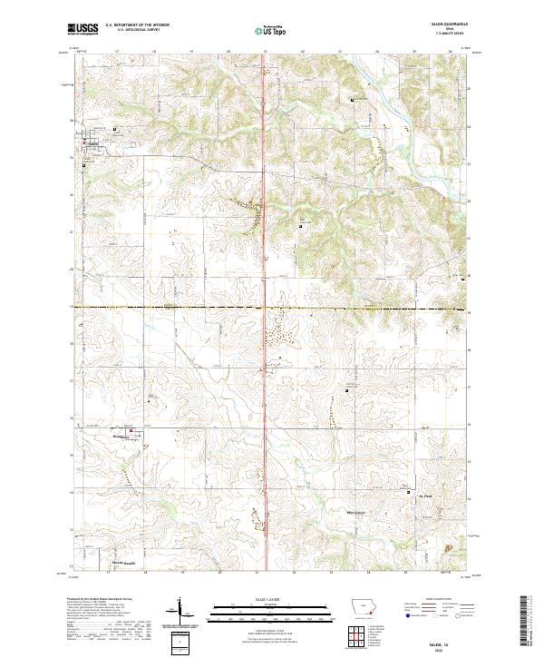
2022 Map of Salem
USGS Topo · Published 2022About this map
Salem serves as the primary hub in this corner of Southeast Iowa, where the border between Henry Co and Lee Co divides a landscape of agricultural plateaus and deeply carved creek valleys. The settlement pattern is defined by several small communities including Houghton, St. Paul, and Pilot Grove, each established along a network of county roads like Co RD w55 and Co RD j38. In the northern section, the Skunk River meanders through the terrain, joined by tributaries such as Fish Cr and Bogue Cr. Genealogists will find a wealth of burial sites across the townships, ranging from the Salem South Cem and Salem East Cem near the main townsite to more isolated locations like Hunting Cem and Hicks Cem. The map also preserves the locations of religious landmarks, including the Saint John Cem and Saint James Cem, which anchor the surrounding rural sections.
Find a feature on this map
57 named features on this map. Tap any name to fly to it.
Don’t see what you’re looking for? This feature index may not catch every label — zoom into the map to look around manually.
Map Details
Editions of this 2022 Salem Map
This is the sole edition of this map. No revisions or reprints were ever made.