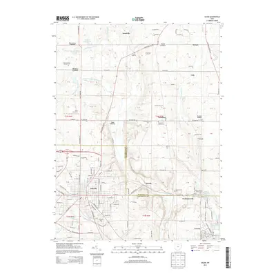
2013 Map of Salem
USGS Topo · Published 2013About this map
Salem anchors this corner of Northeast Ohio where residential grids meet a landscape of orchards and historical burial grounds. The transition from industrial corridors to agricultural use is marked by several large operations, including the White House Fruit Farm, Huffman Fruit Farm, and Norkus Orchard. These agricultural centers are interspersed with small, unincorporated settlements such as New Albany, Greenford, and Washingtonville. The terrain is drained by the Middle Fork Little Beaver Creek and Cherry Valley Run, providing a topographic framework for the numerous cemeteries that dot the region. Genealogists will find a concentration of local history at sites like Grandview Cem, Hope Cem, and the Dutch Ridge Cem. To the north, the Salem Airpark Inc and smaller water bodies like Western Reserve Lake define the character of the suburban-rural fringe.
Find a feature on this map
167 named features on this map. Tap any name to fly to it.
Don’t see what you’re looking for? This feature index may not catch every label — zoom into the map to look around manually.
Map Details
Editions of this 2013 Salem Map
This is the sole edition of this map. No revisions or reprints were ever made.
Other maps of this area

1906 · Youngstown
USGS Topo · 1:62,500

1907 · Columbiana
USGS Topo · 1:62,500

1908 · Youngstown
USGS Topo · 1:62,500

1908 · Warren
USGS Topo · 1:62,500

1909 · Lisbon
USGS Topo · 1:62,500

1909 · Columbiana
USGS Topo · 1:62,500

1950 · Cleveland
USGS Topo · 1:250,000

1951 · Canton
USGS Topo · 1:250,000

1951 · Columbiana
USGS Topo · 1:24,000

1951 · Youngstown
USGS Topo · 1:24,000