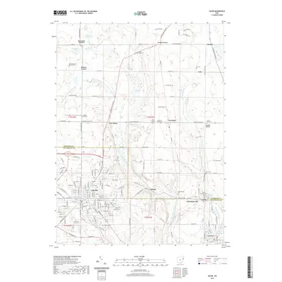
2019 Map of Salem
USGS Topo · Published 2019About this map
Salem sits at the heart of this survey, serving as a primary hub where the historical boundaries of Mahoning and Columbiana counties meet. The landscape is defined by the headwaters of the Middle Fork Little Beaver Creek and its various tributaries, including Meander Creek and Stone Mill Run. This map reveals a high density of rural burial sites and congregations, such as the Bethel Methodist Episcopal Cemetery and Dutch Ridge Cemetery, which point to the established 19th-century settlement patterns of the region.
Find a feature on this map
149 named features on this map. Tap any name to fly to it.
Don’t see what you’re looking for? This feature index may not catch every label — zoom into the map to look around manually.
Map Details
Editions of this 2019 Salem Map
This is the sole edition of this map. No revisions or reprints were ever made.
Other maps of this area

1906 · Youngstown
USGS Topo · 1:62,500

1907 · Columbiana
USGS Topo · 1:62,500

1908 · Youngstown
USGS Topo · 1:62,500

1908 · Warren
USGS Topo · 1:62,500

1909 · Lisbon
USGS Topo · 1:62,500

1909 · Columbiana
USGS Topo · 1:62,500

1950 · Cleveland
USGS Topo · 1:250,000

1951 · Canton
USGS Topo · 1:250,000

1951 · Columbiana
USGS Topo · 1:24,000

1951 · Youngstown
USGS Topo · 1:24,000