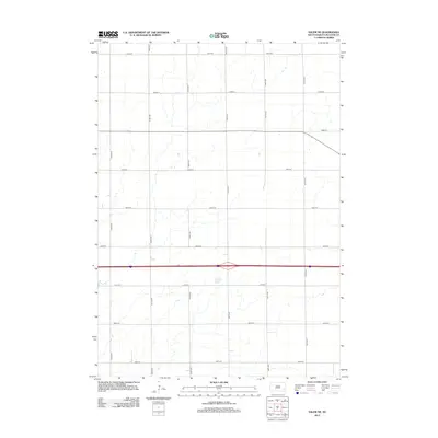
2012 Map of Salem NE
USGS Topo · Published 2012About this map
Richland Township in McCook County maintains a strictly organized agricultural grid, as documented in this 2012 survey. The landscape is defined by the intersection of north-south avenues and east-west streets, such as the crossing of 445th Ave and 255th St. This systematic land division facilitates the transport of crops across the rural plains of South Dakota. The drainage patterns of the region, marked by seasonal creek beds and intermittent water bodies, weave through the section lines, often crossing under roads like 253rd St and 442nd Ave. This layout reflects a Century of Prairie development where the section-line road remains the primary infrastructure for local farms. While the map is sparse of named settlements, it provides a precise ledger of the rural infrastructure between 251st St and 259th St, serving as a foundational record for property boundary research and land use history in the Salem area.
Find a feature on this map
15 named features on this map. Tap any name to fly to it.
Don’t see what you’re looking for? This feature index may not catch every label — zoom into the map to look around manually.
Map Details
Editions of this 2012 Salem NE Map
This is the sole edition of this map. No revisions or reprints were ever made.
Other maps of this area

1955 · Sioux Falls
USGS Topo · 1:250,000

1958 · Sioux Falls
USGS Topo · 1:250,000

1964 · Montrose
USGS Topo · 1:24,000

1964 · Canistota
USGS Topo · 1:24,000

1964 · Salem NE
USGS Topo · 1:24,000

1964 · Salem
USGS Topo · 1:24,000

1964 · Bridgewater East
USGS Topo · 1:24,000

1964 · East Vermillion Lake
USGS Topo · 1:24,000

1968 · Lake Madison SW
USGS Topo · 1:24,000

1971 · Unityville
USGS Topo · 1:24,000