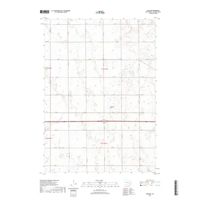
2017 Map of Salem NE
USGS Topo · Published 2017About this map
Coteau des Prairies defines the physiographic character of this McCook County landscape, appearing here as a series of subtle topographic variations across the agricultural heartland. The map reflects the enduring Public Land Survey System structure, with a precise grid of section lines and gravel roads such as Richard Ave and 251st St that divide the townships of T103n R54w and T102n R54w. This late-2010s survey captures a moment of modern rural continuity where small seasonal wetlands and drainage patterns still punctuate the geometric regularity of the prairie, illustrating the intersection of natural glacial features and historical land division.
Find a feature on this map
21 named features on this map. Tap any name to fly to it.
Don’t see what you’re looking for? This feature index may not catch every label — zoom into the map to look around manually.
Map Details
Editions of this 2017 Salem NE Map
This is the sole edition of this map. No revisions or reprints were ever made.
Other maps of this area

1955 · Sioux Falls
USGS Topo · 1:250,000

1958 · Sioux Falls
USGS Topo · 1:250,000

1964 · Montrose
USGS Topo · 1:24,000

1964 · Canistota
USGS Topo · 1:24,000

1964 · Salem NE
USGS Topo · 1:24,000

1964 · Salem
USGS Topo · 1:24,000

1964 · Bridgewater East
USGS Topo · 1:24,000

1964 · East Vermillion Lake
USGS Topo · 1:24,000

1968 · Lake Madison SW
USGS Topo · 1:24,000

1971 · Unityville
USGS Topo · 1:24,000