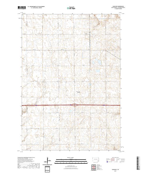
2021 Map of Salem NE
USGS Topo · Published 2021About this map
Coteau des Prairies defines the rolling elevation of this agricultural landscape in McCook County. This high plateau, a prominent glacial landform, dominates the topography with its characteristic series of small depressions and seasonal water bodies. The land is organized by an exacting grid of section-line roads, including 251st St, Richard Ave, and 444th Ave, reflecting the enduring legacy of the Public Land Survey System. Modern transportation infrastructure is anchored by the east-west corridor of Interstate 90, which bisects the southern half of the quadrangle. The map reveals a sparsely populated rural district where the intersection of nature and human geometry is visible in every quarter-section, providing a contemporary view of the farming patterns and road networks that have sustained this part of South Dakota for generations.
Find a feature on this map
22 named features on this map. Tap any name to fly to it.
Don’t see what you’re looking for? This feature index may not catch every label — zoom into the map to look around manually.
Map Details
Editions of this 2021 Salem NE Map
This is the sole edition of this map. No revisions or reprints were ever made.
Other maps of this area

1955 · Sioux Falls
USGS Topo · 1:250,000

1958 · Sioux Falls
USGS Topo · 1:250,000

1964 · Montrose
USGS Topo · 1:24,000

1964 · Canistota
USGS Topo · 1:24,000

1964 · Salem NE
USGS Topo · 1:24,000

1964 · Salem
USGS Topo · 1:24,000

1964 · Bridgewater East
USGS Topo · 1:24,000

1964 · East Vermillion Lake
USGS Topo · 1:24,000

1968 · Lake Madison SW
USGS Topo · 1:24,000

1971 · Unityville
USGS Topo · 1:24,000