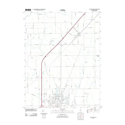
2012 Map of Salem North
USGS Topo · Published 2012About this map
Tonti Oil Field and the surrounding agricultural landscapes of Marion County define this 2012 survey. The settlement of Alma serves as a local hub in the northeast, while the southern margin captures the northern outskirts of Salem, including Bryan Memorial Park and the Salem-Leckrone Airport. This era shows a landscape managed for both resources and recreation, with numerous small water bodies such as Rochester-Goodell Reservoir and C and E Reservoir punctuating the drainage basins of Crooked Cr and Vermilion Cr.
Find a feature on this map
126 named features on this map. Tap any name to fly to it.
Don’t see what you’re looking for? This feature index may not catch every label — zoom into the map to look around manually.
Map Details
Editions of this 2012 Salem North Map
This is the sole edition of this map. No revisions or reprints were ever made.
Other maps of this area

1914 · Centralia
USGS Topo · 1:62,500

1934 · Salem
USGS Topo · 1:62,500

1935 · Centralia
USGS Topo · 1:62,500

1938 · Salem
USGS Topo · 1:62,500

1945 · Kinmundy
USGS Topo · 1:62,500

1945 · Vandalia
USGS Topo · 1:62,500

1947 · Vandalia
USGS Topo · 1:62,500

1947 · Kinmundy
USGS Topo · 1:62,500

1958 · Belleville
USGS Topo · 1:250,000

1962 · Belleville
USGS Topo · 1:250,000