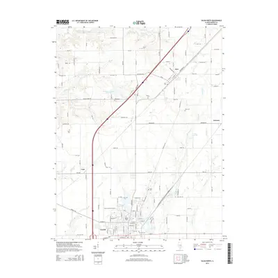
2015 Map of Salem North
USGS Topo · Published 2015About this map
Salem anchors the southern portion of this landscape, where the town's residential streets give way to a network of rural roads and water management features. The area's agricultural character is punctuated by several reservoirs, including Rochester-Goodell Reservoir, Moose Reservoir, and the C and EI Reservoir. These water bodies, along with Town Cr and Crooked Cr, illustrate the local drainage patterns north of the city center. Transport infrastructure is prominent, with the Salem-Leckrone Airport and major corridors connecting the smaller settlements of Tonti and Alma.
Find a feature on this map
109 named features on this map. Tap any name to fly to it.
Don’t see what you’re looking for? This feature index may not catch every label — zoom into the map to look around manually.
Map Details
Editions of this 2015 Salem North Map
This is the sole edition of this map. No revisions or reprints were ever made.
Other maps of this area

1914 · Centralia
USGS Topo · 1:62,500

1934 · Salem
USGS Topo · 1:62,500

1935 · Centralia
USGS Topo · 1:62,500

1938 · Salem
USGS Topo · 1:62,500

1945 · Kinmundy
USGS Topo · 1:62,500

1945 · Vandalia
USGS Topo · 1:62,500

1947 · Vandalia
USGS Topo · 1:62,500

1947 · Kinmundy
USGS Topo · 1:62,500

1958 · Belleville
USGS Topo · 1:250,000

1962 · Belleville
USGS Topo · 1:250,000