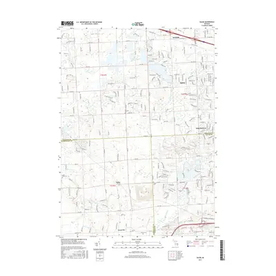
2017 Map of Salem
USGS Topo · Published 2017About this map
Maybury State Park occupies a central position on this landscape where the boundaries of Oakland, Wayne, and Washtenaw counties meet. This area reflects a complex transition from the suburban density of Novi, Wixom, and Northville in the north and east to the more open township lands surrounding Salem and Brookville in the south. The terrain is defined by a sophisticated water management network including the Novi Lyon Drain, Sump Drain, and Johnson Drain, which channel water across the undulating topography of the region.
Find a feature on this map
40 named features on this map. Tap any name to fly to it.
Don’t see what you’re looking for? This feature index may not catch every label — zoom into the map to look around manually.
Map Details
Editions of this 2017 Salem Map
This is the sole edition of this map. No revisions or reprints were ever made.
Other maps of this area

1902 · South Lyon
USGS Topo · 1:62,500

1904 · Ann Arbor
USGS Topo · 1:125,000

1905 · Wayne
USGS Topo · 1:62,500

1906 · South Lyon
USGS Topo · 1:62,500

1907 · Pontiac
USGS Topo · 1:62,500

1908 · Ann Arbor
USGS Topo · 1:125,000

1909 · Milford
USGS Topo · 1:62,500

1912 · Wayne
USGS Topo · 1:62,500

1936 · Wayne
USGS Topo · 1:31,680

1936 · Wixom
USGS Topo · 1:31,680
Featured Places
- Novi, MI
- Northville Charter Township, MI
- Plymouth Charter Township, MI
- Lyon Charter Township, MI
- Wixom, MI