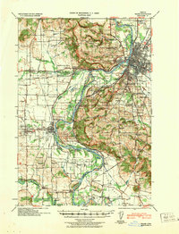
1940 Map of Salem
USGS Topo · Published 1940About this map
Salem serves as the focal point of this 1940 tactical map, where the Willamette River separates the city from West Salem while winding through fertile basins like American Bottom and Keizer Bottom. The landscape is a complex network of agriculture and institutional development, evidenced by the presence of the State Penitentiary, the Oregon State Training School, and the State Institution for Feeble-Minded. Beyond the urban core, the map reveals a dense rural infrastructure of family-named landmarks and essential community sites, including the Poor Farm School for the Deaf and Brushes College School.
Find a feature on this map
131 named features on this map. Tap any name to fly to it.
Don’t see what you’re looking for? This feature index may not catch every label — zoom into the map to look around manually.
Map Details
Editions of this 1940 Salem Map
This is the sole edition of this map. No revisions or reprints were ever made.
Other maps of this area
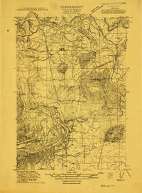
1912 · Jefferson
USGS Topo · 1:31,680
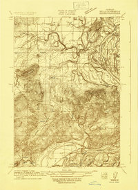
1913 · Wells
USGS Topo · 1:31,680
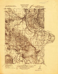
1914 · Independence
USGS Topo · 1:31,680
1914 · Soap Creek
USGS Topo · 1:31,680
1915 · Rickreall
USGS Topo · 1:31,680
1915 · Eola
USGS Topo · 1:31,680
1915 · Sidney
USGS Topo · 1:31,680
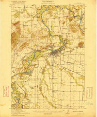
1916 · Albany
USGS Topo · 1:62,500
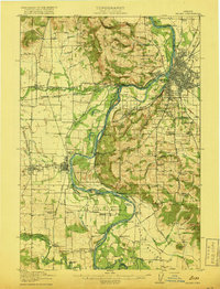
1917 · Salem
USGS Topo · 1:62,500
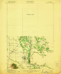
1921 · Lebanon
USGS Topo · 1:62,500