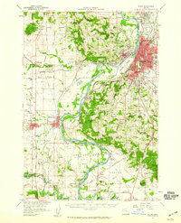
1957 Map of Salem
USGS Topo · Published 1959About this map
The Willamette River anchors this mid-century view of the Oregon state capital and its surrounding agricultural valley. The urban center of Salem is dense with institutional history, shown through the footprints of the State Capitol, the State Penitentiary, and the State Hospital. Development radiates from the riverbank, with residential neighborhoods such as Keizer and Liberty taking shape alongside schools like the Jason Lee Sch and Highland Sch.
Find a feature on this map
139 named features on this map. Tap any name to fly to it.
Don’t see what you’re looking for? This feature index may not catch every label — zoom into the map to look around manually.
Map Details
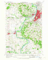
Editions of this 1957 Salem Map
2 editions found
Other maps of this area

1912 · Jefferson
USGS Topo · 1:31,680

1913 · Wells
USGS Topo · 1:31,680

1914 · Independence
USGS Topo · 1:31,680

1914 · Soap Creek
USGS Topo · 1:31,680

1915 · Rickreall
USGS Topo · 1:31,680

1915 · Eola
USGS Topo · 1:31,680

1915 · Sidney
USGS Topo · 1:31,680

1916 · Albany
USGS Topo · 1:62,500

1917 · Salem
USGS Topo · 1:62,500

1921 · Lebanon
USGS Topo · 1:62,500