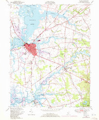
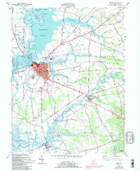
1948 Map of Salem
USGS Topo · Published 1972About this map
The historic county seat of Salem anchors this coastal landscape, situated at the confluence of the Salem River and Fenwick creek. The 1948 survey, updated with 1970 revisions, documents a region defined by its tidal marshes and agrarian corridors. Coastal infrastructure is evident at Majors Wharf and Sinnickson Landing, while the interior is dotted with local institutions like the Town Hall Sch and Wyncoop Sch. The Pennsylvania Reading Seashore Lines provides a vital rail link through the marshes, connecting the industrial center of the city to outlying settlements. In the surrounding townships of Quinton and Elsinboro, the map reveals a network of old roads such as Quinton Bridge Road and Quaker Neck Road, tracing the historical development of these New Jersey communities before modern suburban expansion.
Find a feature on this map
76 named features on this map. Tap any name to fly to it.
Don’t see what you’re looking for? This feature index may not catch every label — zoom into the map to look around manually.
Map Details
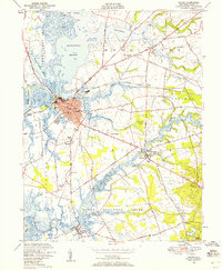
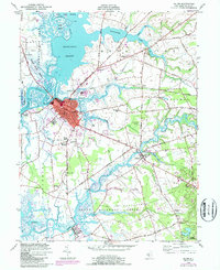
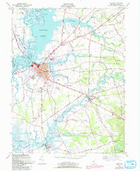
Editions of this 1948 Salem Map
5 editions found
Other maps of this area

1890 · Salem
USGS Topo · 1:62,500

1890 · Bay Side
USGS Topo · 1:62,500

1894 · Bay Side
USGS Topo · 1:62,500

1898 · Salem
USGS Topo · 1:62,500

1899 · Vineland
USGS Topo · 1:125,000

1899 · Dover
USGS Topo · 1:125,000

1901 · Camden
USGS Topo · 1:125,000

1904 · Wilmington
USGS Topo · 1:62,500

1906 · Dover
USGS Topo · 1:125,000

1906 · Wilmington
USGS Topo · 1:62,500
Featured Places
- Pennsville Township, NJ
- Salem, NJ
- Quinton Township, NJ
- Lower Alloways Creek Township, NJ
- Alloway Township, NJ