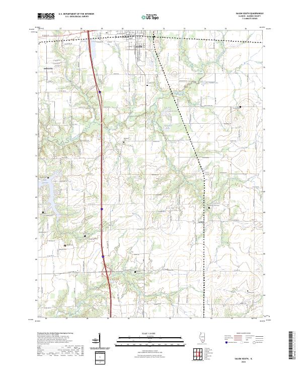
2024 Map of Salem South
USGS Topo · Published 2024About this map
The agricultural plains of Marion County south of Salem reveal a landscape defined by small rural hubs and a network of family and community cemeteries. Small settlements like Selmaville and Cartter anchor the local road system, while the western edge is shaped by the expansive Lake Centralia. The terrain is deeply inscribed with local history through its many burial grounds, including Bethlehem Cem, Paradise Cem, and the Romine Prairie Cem. Waterways such as Crooked Creek and Raccoon Creek meander through the farmland, creating natural breaks in the grid of county roads. This area remains a vital agricultural region where modern transit corridors intersect with long-established landmarks like Dunkard Cem and the waters of Lofton Lake.
Find a feature on this map
63 named features on this map. Tap any name to fly to it.
Don’t see what you’re looking for? This feature index may not catch every label — zoom into the map to look around manually.
Map Details
Editions of this 2024 Salem South Map
This is the sole edition of this map. No revisions or reprints were ever made.
Historical Maps of Marion County Through Time
12 maps found
1965 Omega
Marion County, IL
1965 Salem North
Marion County, IL
1965 Salem South
Marion County, IL
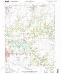
1970 Centralia East
Marion County, IL
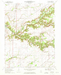
1970 Fairman
Marion County, IL
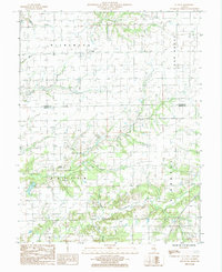
1985 St. Paul
Marion County, IL
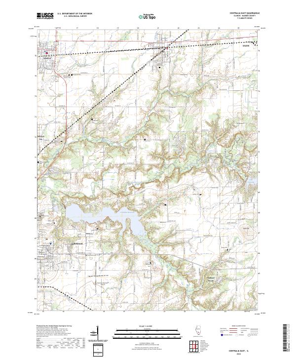
2024 Centralia East
Marion County, IL
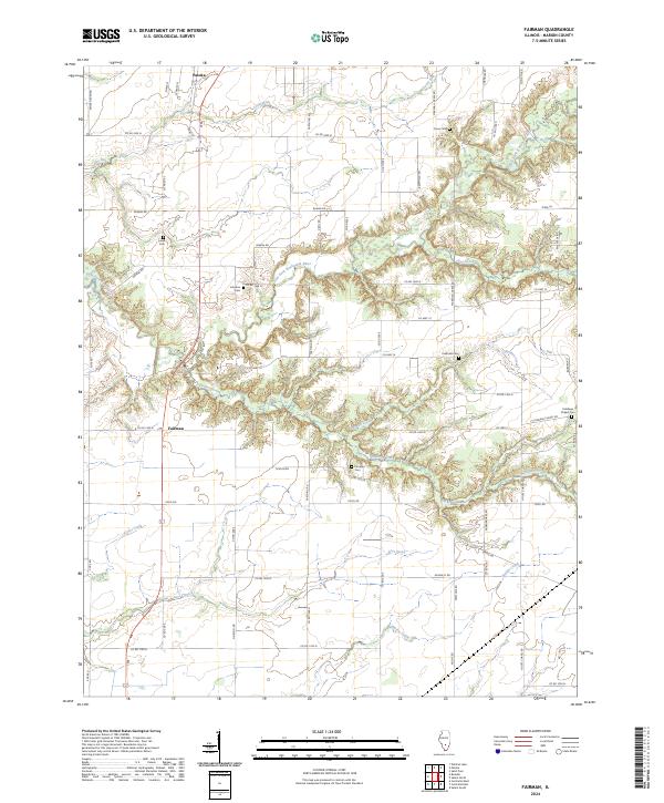
2024 Fairman
Marion County, IL
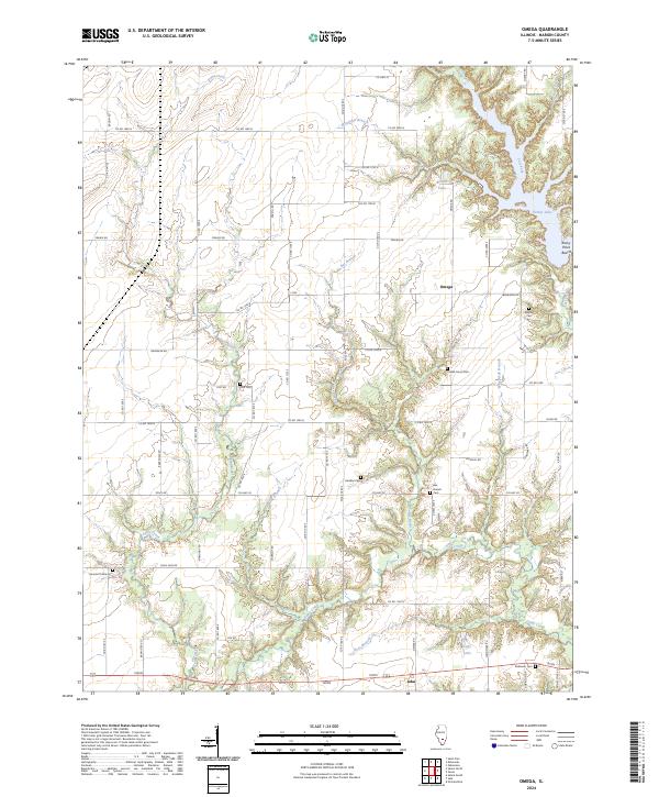
2024 Omega
Marion County, IL
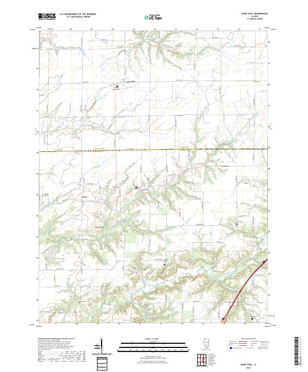
2024 Saint Paul
Marion County, IL
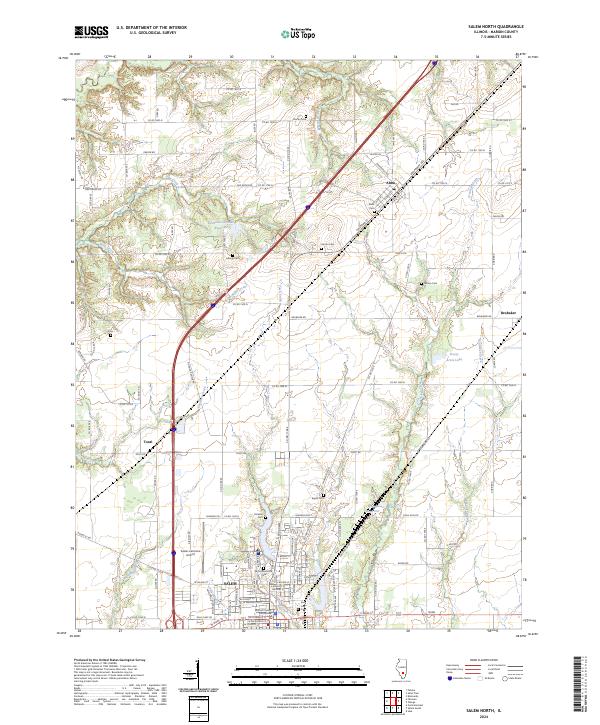
2024 Salem North
Marion County, IL
2024 Salem South
Marion County, IL