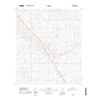
2021 Map of Salem
USGS Topo · Published 2021About this map
The low-lying pine lands and wetlands of Taylor County define this landscape, where the settlement of Salem serves as a local focal point near the Salem Cem. The terrain is characterized by a high concentration of water bodies and marshy areas, including the broad Warrior Swamp and the headwaters of Athena Warrior Cr. To the north, the small community of Athena sits along the road network, while Carbur is situated further south along the primary highway corridor.
Find a feature on this map
39 named features on this map. Tap any name to fly to it.
Don’t see what you’re looking for? This feature index may not catch every label — zoom into the map to look around manually.
Map Details
Editions of this 2021 Salem Map
This is the sole edition of this map. No revisions or reprints were ever made.
Other maps of this area

1954 · Fenholloway
USGS Topo · 1:24,000

1954 · Day SE
USGS Topo · 1:24,000

1954 · Clara
USGS Topo · 1:24,000

1954 · Salem SW
USGS Topo · 1:24,000

1954 · Cooks Hammock
USGS Topo · 1:24,000

1954 · Warrior Swamp
USGS Topo · 1:24,000

1954 · Salem
USGS Topo · 1:24,000

1954 · Keaton Beach
USGS Topo · 1:24,000

1954 · Gainesville
USGS Topo · 1:250,000

1954 · Valdosta
USGS Topo · 1:250,000