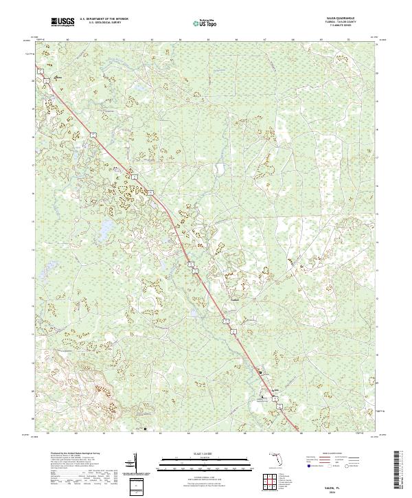
2024 Map of Salem
USGS Topo · Published 2024About this map
Salem and the adjacent Salem Cem serve as a central point in this part of Taylor County, where the landscape is defined by extensive wetlands and forest. The drainage patterns of Warrior Swamp and Athena Warrior Creek dictate the local geography, punctuated by features like The Meadows and Clay Hole Pond.
Find a feature on this map
44 named features on this map. Tap any name to fly to it.
Don’t see what you’re looking for? This feature index may not catch every label — zoom into the map to look around manually.
Map Details
Editions of this 2024 Salem Map
This is the sole edition of this map. No revisions or reprints were ever made.
Other maps of this area

1954 · Fenholloway
USGS Topo · 1:24,000

1954 · Day SE
USGS Topo · 1:24,000

1954 · Clara
USGS Topo · 1:24,000

1954 · Salem SW
USGS Topo · 1:24,000

1954 · Cooks Hammock
USGS Topo · 1:24,000

1954 · Warrior Swamp
USGS Topo · 1:24,000

1954 · Salem
USGS Topo · 1:24,000

1954 · Keaton Beach
USGS Topo · 1:24,000

1954 · Gainesville
USGS Topo · 1:250,000

1954 · Valdosta
USGS Topo · 1:250,000