Loading...
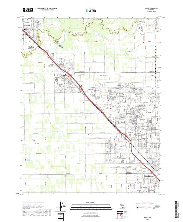
Loading map...2021 Map of Salida
USGS Topo · Published 2021About this map
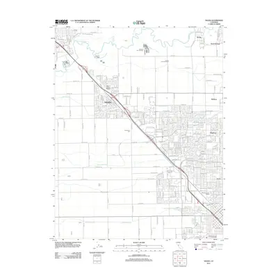
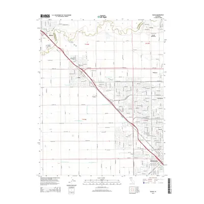
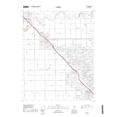
The Stanislaus River marks the northern boundary of this modern survey, defining the border between San Joaquin Co and Stanislaus Co. This Central Valley landscape is characterized by its organized irrigation network, including Lateral Number Six, Lateral Number Seven, and Lateral Number Four, which support the agricultural heritage of the region. The map captures the significant expansion of Salida and northern Modesto into what was once open farmland.
Find a feature on this map
243 named features on this map. Tap any name to fly to it.
Don’t see what you’re looking for? This feature index may not catch every label — zoom into the map to look around manually.
Map Details
Date Portrayed2021
Date Published2021
PublisherU.S. Geological Survey
Map TypeTopographic
Scale1:24,000
Physical Dimensions24 x 29 inches
Editions of this 2021 Salida Map
This is the sole edition of this map. No revisions or reprints were ever made.
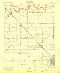
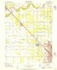
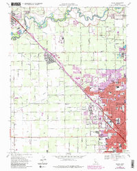
Historical Maps of Modesto Through Time
7 maps found
Featured Locations
Source Details
SourceU.S. Geological Survey
CopyrightPublic Domain