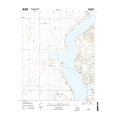
2016 Map of Salina
USGS Topo · Published 2016About this map
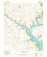
Lake Hudson dominates the eastern landscape of this Mayes County region, its winding shoreline shaping the development of the town of Salina. This 2016 survey documents the complex intersection of water and land, where the expansive reservoir meets the prairie and hollows of eastern Oklahoma. The map records important sites for local history and genealogy, including the Zion Mennonite Cem in the northwest and Bryan Chapel Cem near the small community of Boatman to the south.
Find a feature on this map
64 named features on this map. Tap any name to fly to it.
Don’t see what you’re looking for? This feature index may not catch every label — zoom into the map to look around manually.
Map Details
Editions of this 2016 Salina Map
This is the sole edition of this map. No revisions or reprints were ever made.
Other maps of this area

1896 · Pryor
USGS Topo · 1:125,000

1901 · Pryor
USGS Topo · 1:125,000

1954 · Tulsa
USGS Topo · 1:250,000

1958 · Tulsa
USGS Topo · 1:250,000

1963 · Tulsa
USGS Topo · 1:250,000

1969 · Adair
USGS Topo · 1:24,000
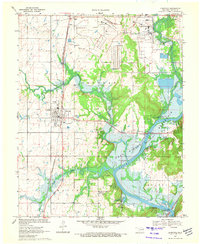
1970 · Chouteau
USGS Topo · 1:24,000
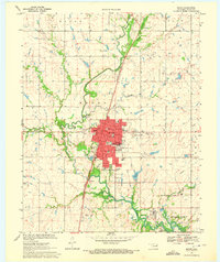
1970 · Pryor
USGS Topo · 1:24,000
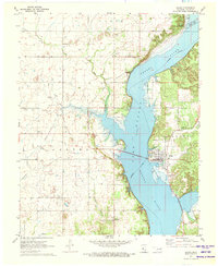
1971 · Salina
USGS Topo · 1:24,000
1971 · Strang
USGS Topo · 1:24,000