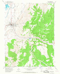
1966 Map of Salina
USGS Topo · Published 1968About this map
The Sevier River valley and its surrounding highlands are captured in the mid-1960s, documenting a landscape shaped by agricultural irrigation and extraction industries. The town of Salina serves as a hub, characterized by a grid-patterned core near the Denver and Rio Grande Western Railroad and the local High Sch. To the north, Redmond sits near the West View Canal and the controlled waters of Redmond Lake.
Find a feature on this map
45 named features on this map. Tap any name to fly to it.
Don’t see what you’re looking for? This feature index may not catch every label — zoom into the map to look around manually.
Map Details
Editions of this 1966 Salina Map
2 editions found
Other maps of this area

1885 · Manti
USGS Topo · 1:250,000

1885 · Fish Lake
USGS Topo · 1:250,000

1895 · Manti
USGS Topo · 1:250,000

1896 · Fish Lake
USGS Topo · 1:250,000

1956 · Salina
USGS Topo · 1:250,000

1956 · Price
USGS Topo · 1:250,000

1960 · Price
USGS Topo · 1:250,000

1960 · Salina
USGS Topo · 1:250,000

1962 · Salina
USGS Topo · 1:250,000

1962 · Price
USGS Topo · 1:250,000