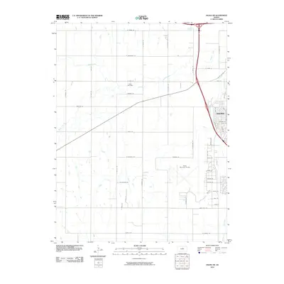
2010 Map of Salina SW
USGS Topo · Published 2010About this map
Salina expands westward across this Kansas landscape, where the confluence of modern aviation and traditional agriculture is clearly visible. The sprawling complex of the Salina Municipal Airport dominates the southeastern quadrant, its runways and taxiways carved out near the headwaters of Dry Creek. This area serves as a significant transit hub, anchored by the intersection of major routes like W Old US Hwy 40 and the interstate system bypass.
Find a feature on this map
54 named features on this map. Tap any name to fly to it.
Don’t see what you’re looking for? This feature index may not catch every label — zoom into the map to look around manually.
Map Details
Editions of this 2010 Salina SW Map
This is the sole edition of this map. No revisions or reprints were ever made.
Other maps of this area

1892 · Salina
USGS Topo · 1:125,000

1942 · Salina
USGS Topo · 1:125,000

1955 · Salina
USGS Topo · 1:24,000

1955 · Assaria
USGS Topo · 1:24,000

1955 · Salina SW
USGS Topo · 1:24,000

1955 · Trenton
USGS Topo · 1:24,000

1955 · Smolan
USGS Topo · 1:24,000

1955 · Brookville
USGS Topo · 1:24,000

1955 · Culver
USGS Topo · 1:24,000

1955 · New Cambria
USGS Topo · 1:24,000