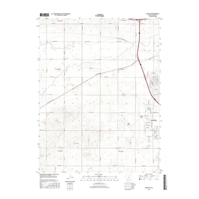
2015 Map of Salina SW
USGS Topo · Published 2015About this map
Salina spreads across the eastern edge of this Kansas landscape, showing the city's significant expansion and industrial infrastructure as it appeared in 2015. The southwestern portion of the city is dominated by the sprawling Salina Regional Airport, an aviation hub that anchors the local transportation network alongside Interstate 135. Educational and civic development is highlighted by the presence of Kansas State Univ at Salina, located near the intersection of several major thoroughfares.
Find a feature on this map
65 named features on this map. Tap any name to fly to it.
Don’t see what you’re looking for? This feature index may not catch every label — zoom into the map to look around manually.
Map Details
Editions of this 2015 Salina SW Map
This is the sole edition of this map. No revisions or reprints were ever made.
Other maps of this area

1892 · Salina
USGS Topo · 1:125,000

1942 · Salina
USGS Topo · 1:125,000

1955 · Salina
USGS Topo · 1:24,000

1955 · Assaria
USGS Topo · 1:24,000

1955 · Salina SW
USGS Topo · 1:24,000

1955 · Trenton
USGS Topo · 1:24,000

1955 · Smolan
USGS Topo · 1:24,000

1955 · Brookville
USGS Topo · 1:24,000

1955 · Culver
USGS Topo · 1:24,000

1955 · New Cambria
USGS Topo · 1:24,000