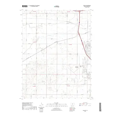
2018 Map of Salina SW
USGS Topo · Published 2018About this map
Salina spreads into the eastern portion of this quadrangle, revealing the city's southwestern expansion and its vital transportation links. The landscape is defined by the broad drainage patterns of Mulberry Cr, Spring Cr, and Dry Cr, which wind through the agricultural sections surrounding the urban center. A significant industrial and logistical hub is centered at the Salina Regional Airport, which occupies a large footprint in the southern portion of the city. Modern recreational infrastructure is evident along the Salina Levee Trail, following the watercourses that helped shape the settlement. The map also documents the transition of historic thoroughfares like W Old Highway 40, showing how legacy routes integrate with contemporary street grids and rural road networks like N Muir Rd and N Lightville Rd.
Find a feature on this map
77 named features on this map. Tap any name to fly to it.
Don’t see what you’re looking for? This feature index may not catch every label — zoom into the map to look around manually.
Map Details
Editions of this 2018 Salina SW Map
This is the sole edition of this map. No revisions or reprints were ever made.
Other maps of this area

1892 · Salina
USGS Topo · 1:125,000

1942 · Salina
USGS Topo · 1:125,000

1955 · Salina
USGS Topo · 1:24,000

1955 · Assaria
USGS Topo · 1:24,000

1955 · Salina SW
USGS Topo · 1:24,000

1955 · Trenton
USGS Topo · 1:24,000

1955 · Smolan
USGS Topo · 1:24,000

1955 · Brookville
USGS Topo · 1:24,000

1955 · Culver
USGS Topo · 1:24,000

1955 · New Cambria
USGS Topo · 1:24,000