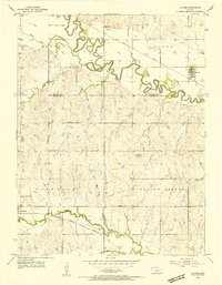
1955 Map of Salina SW
USGS Topo · Published 1978About this map
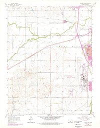
Salina serves as the focal point for this mid-century survey, which documents the city's outward expansion across the Smoky Hill landscape. The 1970s revisions, highlighted in purple, show the significant growth of residential areas and the infrastructure surrounding the Salina Municipal Airport. The map captures a complex transportation network where the Union Pacific, Missouri Pacific, and Atchison Topeka and Santa Fe railroads converge, illustrating the region's enduring role as a central plains transit hub.
Find a feature on this map
26 named features on this map. Tap any name to fly to it.
Don’t see what you’re looking for? This feature index may not catch every label — zoom into the map to look around manually.
Map Details
Editions of this 1955 Salina SW Map
3 editions found
Other maps of this area

1892 · Salina
USGS Topo · 1:125,000

1942 · Salina
USGS Topo · 1:125,000
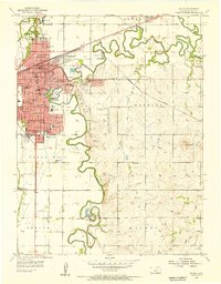
1955 · Salina
USGS Topo · 1:24,000
1955 · Assaria
USGS Topo · 1:24,000
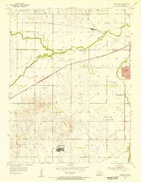
1955 · Salina SW
USGS Topo · 1:24,000
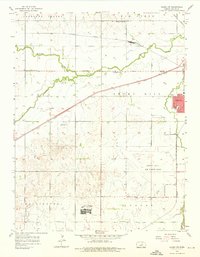
1955 · Trenton
USGS Topo · 1:24,000
1955 · Smolan
USGS Topo · 1:24,000
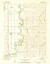
1955 · Brookville
USGS Topo · 1:24,000
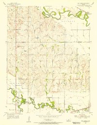
1955 · Culver
USGS Topo · 1:24,000
1955 · New Cambria
USGS Topo · 1:24,000