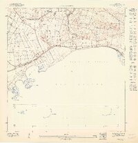
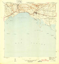
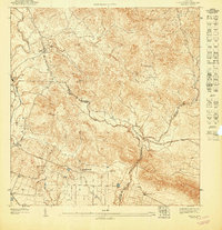
1947 Map of Salinas NO
USGS Topo · Published 1947About this map
Sugarcane agriculture and coastal irrigation define the landscape of southern Puerto Rico in this 1940s topographic study. The Canal de Juana Díaz cuts across the coastal plain, feeding the agricultural operations at Colonia Santiago and Hacienda Palés. These landholdings represent the industrial-scale farming that shaped the region's economy and social structure before the mid-century shifts in island industry.
Find a feature on this map
21 named features on this map. Tap any name to fly to it.
Don’t see what you’re looking for? This feature index may not catch every label — zoom into the map to look around manually.
Map Details
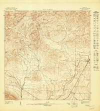
Editions of this 1947 Salinas NO Map
This is the sole edition of this map. No revisions or reprints were ever made.
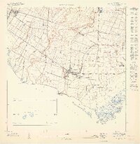
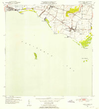
Other maps of this area

1944 · Santa Isabel
USGS Topo · 1:30,000

1945 · Rio Descalabrado
USGS Topo · 1:30,000
1945 · Salinas
USGS Topo · 1:30,000

1946 · Coamo
USGS Topo · 1:30,000
1947 · Rio Descalabrado SE
USGS Topo · 1:10,000
1947 · Salinas NE
USGS Topo · 1:10,000
1947 · Coamo SO
USGS Topo · 1:10,000
1947 · Coamo SE
USGS Topo · 1:10,000
1947 · Santa Isabel NE
USGS Topo · 1:10,000
1952 · Santa Isabel
USGS Topo · 1:30,000