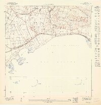
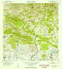
1947 Map of Salinas NO
USGS Topo · Published 1947This historical map portrays the area of Salinas NO in 1947, primarily covering Santa Isabel Municipio as well as portions of Salinas Municipio. Featuring a scale of 1:10000, this map provides a highly detailed snapshot of the terrain, roads, buildings, counties, and historical landmarks in the Salinas NO region at the time. Published in 1947, it is the sole known edition of this map.
Map Details
Editions of this 1947 Salinas NO Map
This is the sole edition of this map. No revisions or reprints were ever made.
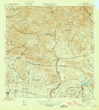
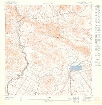
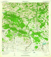
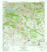
Historical Maps of Arenal Through Time
7 maps found
1945 Rio Descalabrado
Santa Isabel Municipio, PR
1947 Rio Descalabrado SE
Santa Isabel Municipio, PR
1947 Salinas NO
Santa Isabel Municipio, PR
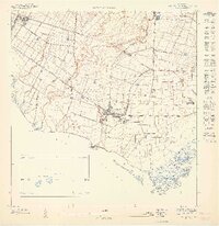
1947 Santa Isabel NE
Santa Isabel Municipio, PR
1952 Rio Descalabrado
Santa Isabel Municipio, PR
1960 Rio Descalabrado
Santa Isabel Municipio, PR
1972 Rio Descalabrado
Santa Isabel Municipio, PR