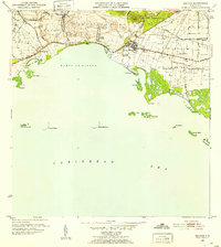
1952 Map of Salinas
USGS Topo · Published 1953About this map
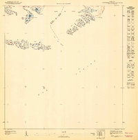
Sugar production and maritime trade define this southern coastal stretch of Puerto Rico in the early 1950s. The landscape is dominated by large agricultural estates and processing centers, including Central Caribe and numerous haciendas such as Hacienda Carmen and Hacienda Margarita. These sites, along with several workers' colonies like Colonia Santiago, illustrate the industrial-agrarian structure of the era. The town of Salinas serves as the inland hub, while Playa Salinas marks the interface with the Caribbean Sea.
Find a feature on this map
40 named features on this map. Tap any name to fly to it.
Don’t see what you’re looking for? This feature index may not catch every label — zoom into the map to look around manually.
Map Details
Editions of this 1952 Salinas Map
2 editions found
Other maps of this area

1944 · Santa Isabel
USGS Topo · 1:30,000

1945 · Rio Descalabrado
USGS Topo · 1:30,000

1945 · Central Aguirre
USGS Topo · 1:30,000

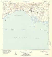
1945 · Salinas
USGS Topo · 1:30,000

1946 · Coamo
USGS Topo · 1:30,000

1946 · Cayey
USGS Topo · 1:30,000
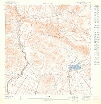
1947 · Rio Descalabrado SE
USGS Topo · 1:10,000

1947 · Cayey SO
USGS Topo · 1:10,000
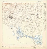
1947 · Salinas NE
USGS Topo · 1:10,000
1947 · Central Aquirre SO
USGS Topo · 1:10,000
Featured Places
- Salinas
- Villasol, Salinas
- Urb. Marbella, Salinas
- Urb. Brisas del Everlymar, Salinas
- Sector Providencia, Salinas