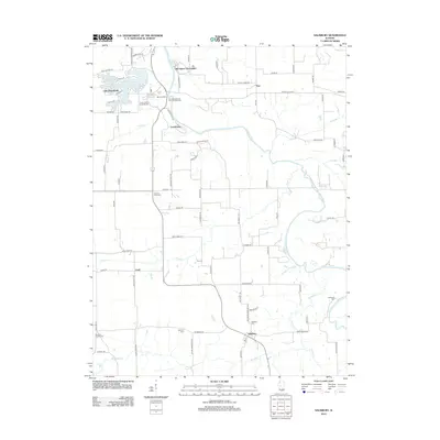
2012 Map of Salisbury
USGS Topo · Published 2012About this map
The Sangamon River meanders through this portion of Menard and Sangamon Counties, anchoring a landscape defined by pioneer-era history and modern recreation. Cultural landmarks like the Old Grist Mill and the Rutledge-Camron Saw and Grist Mill speak to the early industrial foundations of the region, while the Kelso Hollow Amphitheater near Lake Petersburg reflects its later development as a community hub. The map provides significant genealogical value through its many burial grounds, including the Farmers Point Cem, Richland Baptist Cem, and Salisbury Cem. Small settlements like Tice, Lewisburg, and Salisbury are connected by a network of rural roads such as the Athens Blacktop and Pritchettville Rd, illustrating the persistent agricultural character of the Illinois prairie alongside winding tributaries like Richland Cr and Rock Cr.
Find a feature on this map
82 named features on this map. Tap any name to fly to it.
Don’t see what you’re looking for? This feature index may not catch every label — zoom into the map to look around manually.
Map Details
Editions of this 2012 Salisbury Map
This is the sole edition of this map. No revisions or reprints were ever made.
Other maps of this area

1907 · Springfield
USGS Topo · 1:62,500

1909 · Tallula
USGS Topo · 1:62,500

1930 · Springfield
USGS Topo · 1:62,500

1933 · Petersburg
USGS Topo · 1:62,500

1938 · Petersburg
USGS Topo · 1:62,500

1940 · Tallula
USGS Topo · 1:62,500

1940 · Springfield
USGS Topo · 1:62,500

1948 · Mason City
USGS Topo · 1:62,500

1949 · Mason City
USGS Topo · 1:62,500

1950 · Springfield West
USGS Topo · 1:24,000