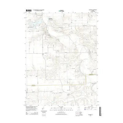
2015 Map of Salisbury
USGS Topo · Published 2015About this map
The Sangamon River carves a deep valley through this Central Illinois landscape, defining the rugged geography between the settlements of Lewisburg and Tice. To the northwest, the residential and recreational area around Lake Petersburg contrasts with the surrounding agricultural tablelands. The map reveals a dense network of local history markers, particularly the Old Salem Chautauqua park and a remarkable number of rural burial grounds including Oakland Cem, Hickory Grove Cem, and Farmers Point Cem. The terrain is punctuated by New Salem Bluff overlooking the river, while the village of Salisbury anchors the southern portion of the sheet near the Menard and Sangamon County line. Small waterways like Richland Cr and Rock Cr cut across the landscape, feeding into the primary river system that historically shaped the region's development.
Find a feature on this map
101 named features on this map. Tap any name to fly to it.
Don’t see what you’re looking for? This feature index may not catch every label — zoom into the map to look around manually.
Map Details
Editions of this 2015 Salisbury Map
This is the sole edition of this map. No revisions or reprints were ever made.
Other maps of this area

1907 · Springfield
USGS Topo · 1:62,500

1909 · Tallula
USGS Topo · 1:62,500

1930 · Springfield
USGS Topo · 1:62,500

1933 · Petersburg
USGS Topo · 1:62,500

1938 · Petersburg
USGS Topo · 1:62,500

1940 · Tallula
USGS Topo · 1:62,500

1940 · Springfield
USGS Topo · 1:62,500

1948 · Mason City
USGS Topo · 1:62,500

1949 · Mason City
USGS Topo · 1:62,500

1950 · Springfield West
USGS Topo · 1:24,000