Loading...
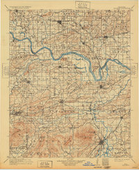
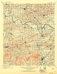
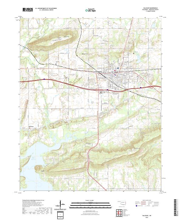
Loading map...1911 Map of Sallisaw
USGS Topo · Published 1932About this map
The Arkansas River meanders across the center of this eastern Oklahoma landscape, serving as a primary geographic boundary and corridor for commerce at the turn of the century. The region is defined by a dense network of early transportation routes, including the Kansas City Southern RR and the Fort Smith and Western RR, which connect established settlements like Sallisaw and Bokoshe. In an era before widespread bridge construction, river crossings such as Slate Ford, Red Hill Ford, and Rock Ford were critical nodes for local travel.
Find a feature on this map
110 named features on this map. Tap any name to fly to it.
Don’t see what you’re looking for? This feature index may not catch every label — zoom into the map to look around manually.
Map Details
Date Portrayed1911
Date Published1932
PublisherU.S. Geological Survey
Map TypeTopographic
Scale1:125,000
Physical Dimensions16.5 x 20.1 inches
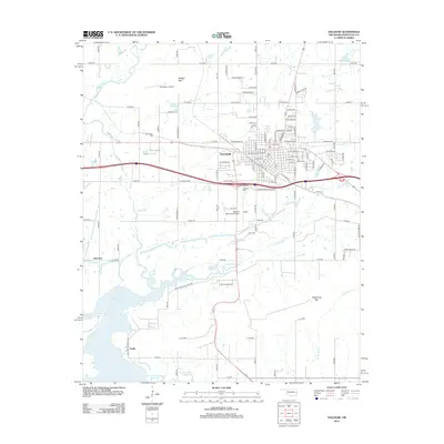
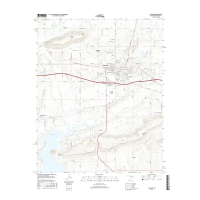
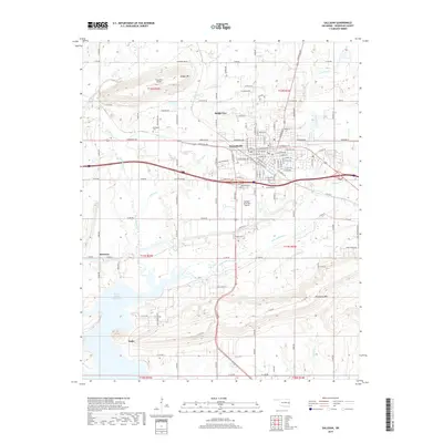
Editions of this 1911 Sallisaw Map
3 editions found

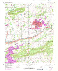
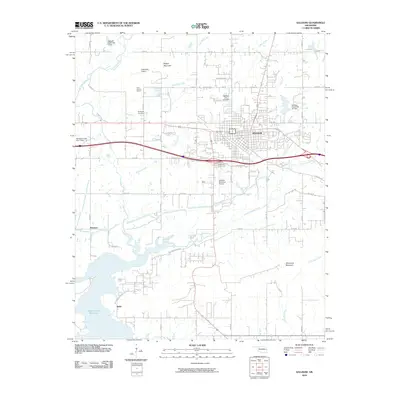
Historical Maps of Poteau Through Time
8 maps found

Featured Locations
Source Details
SourceU.S. Geological Survey
CopyrightPublic Domain